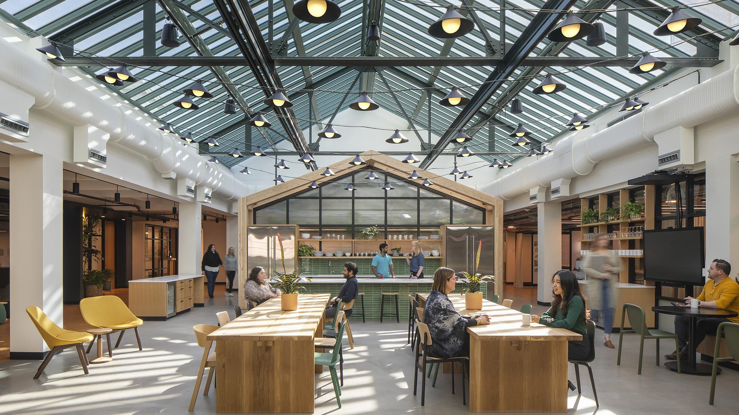
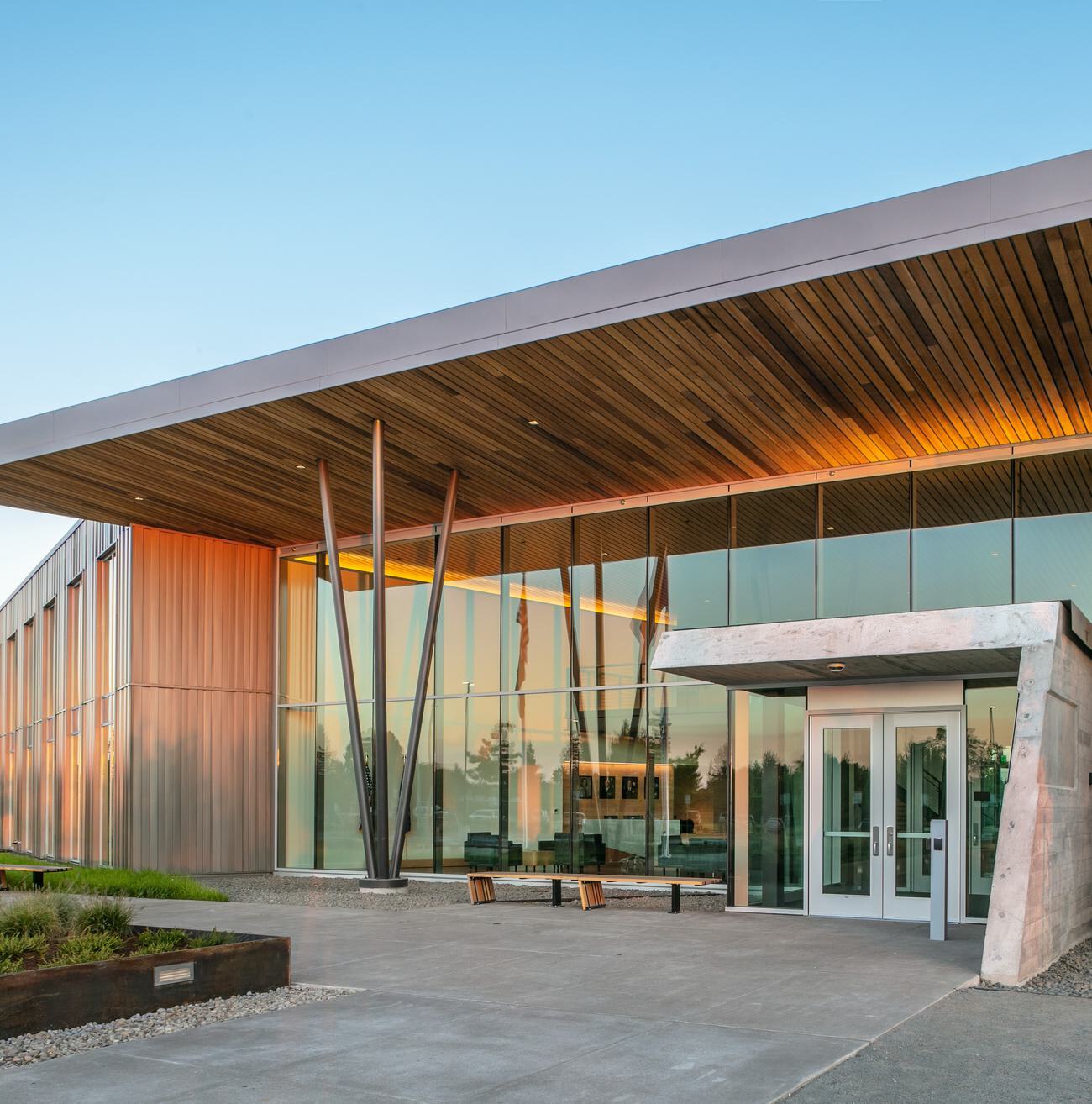
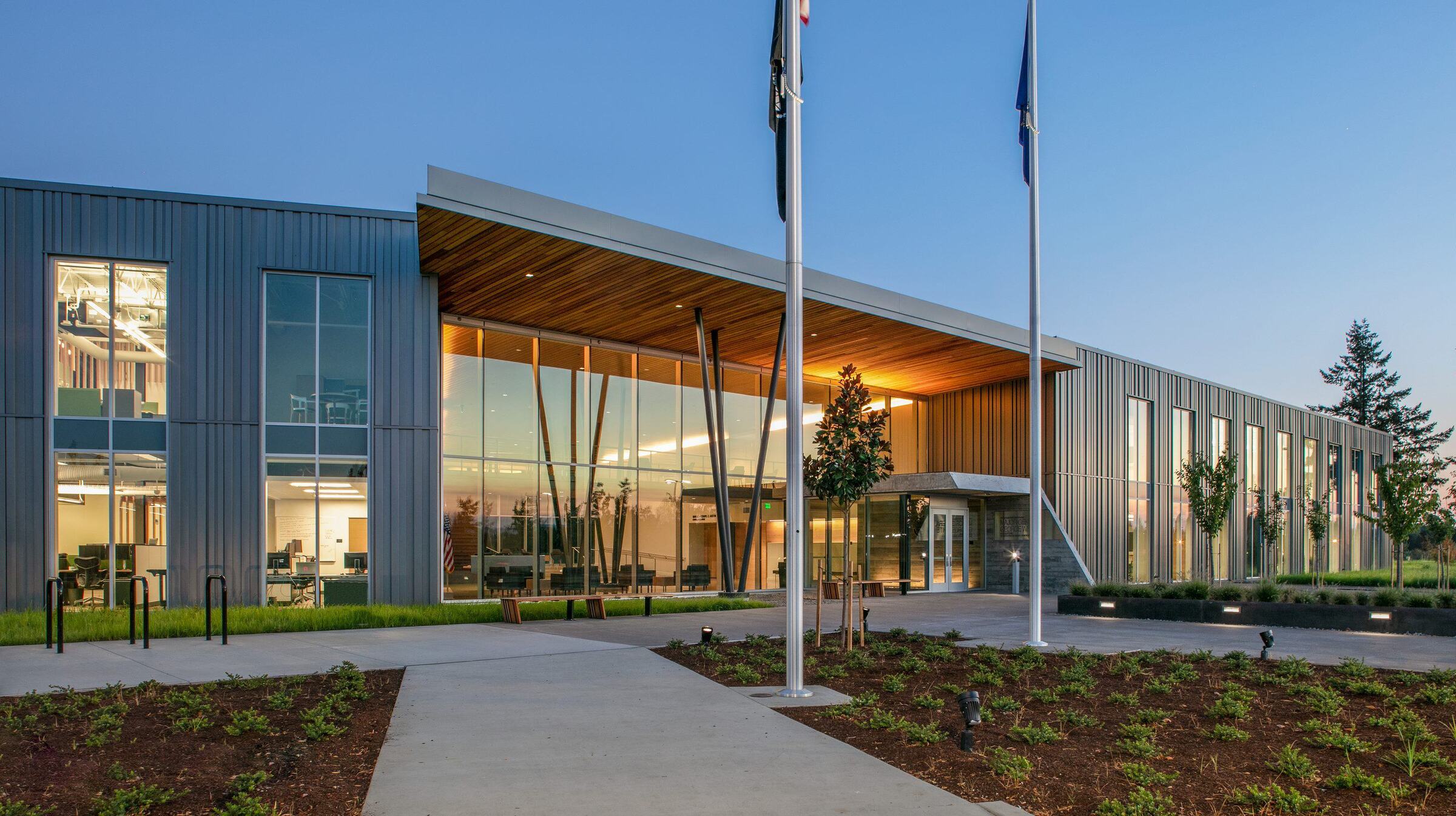
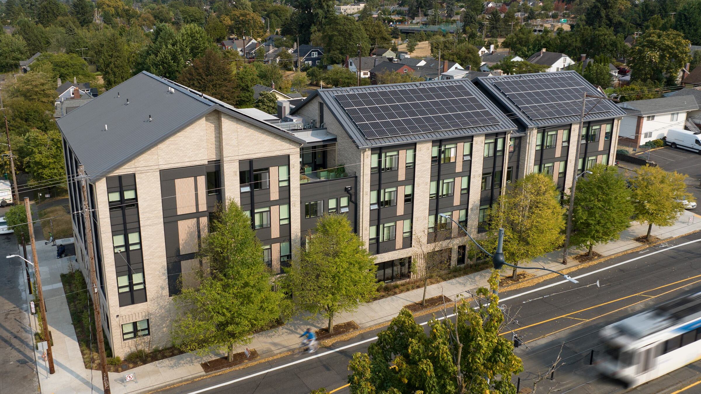
The City of Independence identified 65 acres within its Urban Growth Boundary for potential development. Referred to as the North Riverside Neighborhood, this site consists of a large flood plain and fields along the Willamette River and an upper terrace area close to Main Street (OR 51). The North Riverside Neighborhood Plan illustrates the site’s upper terrace as a mixed-use development area consisting of retail, office and several residential types including single-family houses, cottage clusters, and townhouses. Walking trails and sidewalks along the internal streets and the field-edge retaining wall link all house sites with a mixed-use development cluster and Main Street (OR 51). A centralized park is proposed around an existing stand of oak trees. An overlook at the turn-around above the fields marks the beginning of a walkway that leads to the recreation fields, the boat launch, and the greenway trail that follows the river to downtown and the Ash Creek Trail. Changes to the existing zoning were necessary to accommodate the new development.
The Plan also included a comprehensive transportation analysis and proposed recommendations, which included a central collector with landscaped median, a local street network, sidewalks, trails, and shared bikeway. The proposed access roadway will meet ODOT spacing standards to function safely and efficiently.